Annotate lidar point clouds with full sensor context
Ensure every label is accurate across sensor data with point cloud visualization alongside synchronized 2D camera feeds, radar tracks, and video. Get full support for lidar point cloud annotation in 3D, including cuboids, polylines, polygons, and classifications.
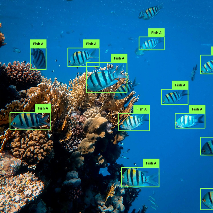
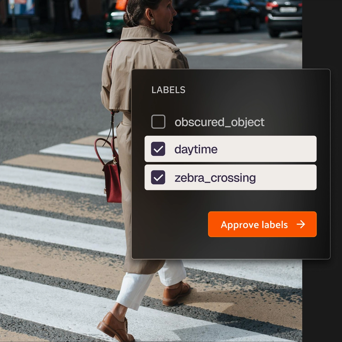
Smarter 3D Labeling
Go from raw lidar data to labeled, training-ready 3D point clouds
Voxel51 supports every annotation type your models need, from precise 3D cuboids with transform controls to 3D polylines for road boundaries, and classifications for scene-level context.
3D Cuboids
Precise 3D object annotation with transform controls
Draw 3D cuboids around objects using the annotation plane. Translate, rotate, and scale along X/Y/Z axes to tightly fit each object cluster. Real-time camera projections show your cuboids overlaid on the synchronized 2D image so you can verify alignment, without leaving the viewer.

3D Polylines
Trace paths and linear structures in 3D
Annotate lane boundaries, road edges, infrastructure features, and other linear structures directly in the cloud. Polylines snap to the annotation plane and can be edited vertex by vertex for precise alignment.

Polygons
Define regions and zones in the scene
Draw polygons for ground plane annotation, exclusion zones, or area-level labeling for road surfaces, parking areas, and other bounded regions in the scene.

Classifications
Apply scene-level or object-level context
Classify the full scene or individual objects by labeling environment type, weather conditions, or scene state. Classifications let you add contextual metadata, without drawing geometric shapes.

Sensor Fusion Visualization
Label all your sensor data in one unified view.
Point cloud annotation is only as accurate as the context around it.
Voxel51 synchronizes your lidar point clouds with 2D camera feeds, radar tracks, and video in a unified viewer. Draw a cuboid in the point cloud and see it projected onto the camera image in real-time, so you can verify your 3D label aligns with what the camera sees, without switching tools or cross-referencing exports.
Voxel51 LIDAR Annotation
Built for annotation teams working with sensor fusion data
3D annotation has different failure modes than 2D. Voxel51 is designed for the challenges teams face when labeling point clouds alongside camera, radar, and video data.
Ontologies built for 3D scenes
Define annotation schema across classes, label hierarchies, and attribute structures to enforce consistency across every annotator, scene, and modality. Your ontology covers 3D cuboids and the 2D labels for the same scene.
Surface label errors across your point cloud dataset
Use embeddings and mistakenness scores to identify the scenes most likely to contain annotation errors, so reviewers can prioritize rather than manually checking every sample.
Fix labels in context, across all your data
Correct 3D annotation mistakes directly in Voxel51's synchronized viewer. Adjust your cuboid, check the camera projection, and move on, all without exporting or switching tools.
ML Research
Auto-labeling rivals human performance
The latest paper from our ML researchers, Auto-Labeling Data for Object Detection, benchmarks auto-labeling against human annotation. We reveal how foundation models can deliver labels at near-human accuracy, while reducing annotation costs by up to 100,000×.


End-to-end Lidar Annotation Platform
Improve model performance with an end-to-end lidar annotation platform
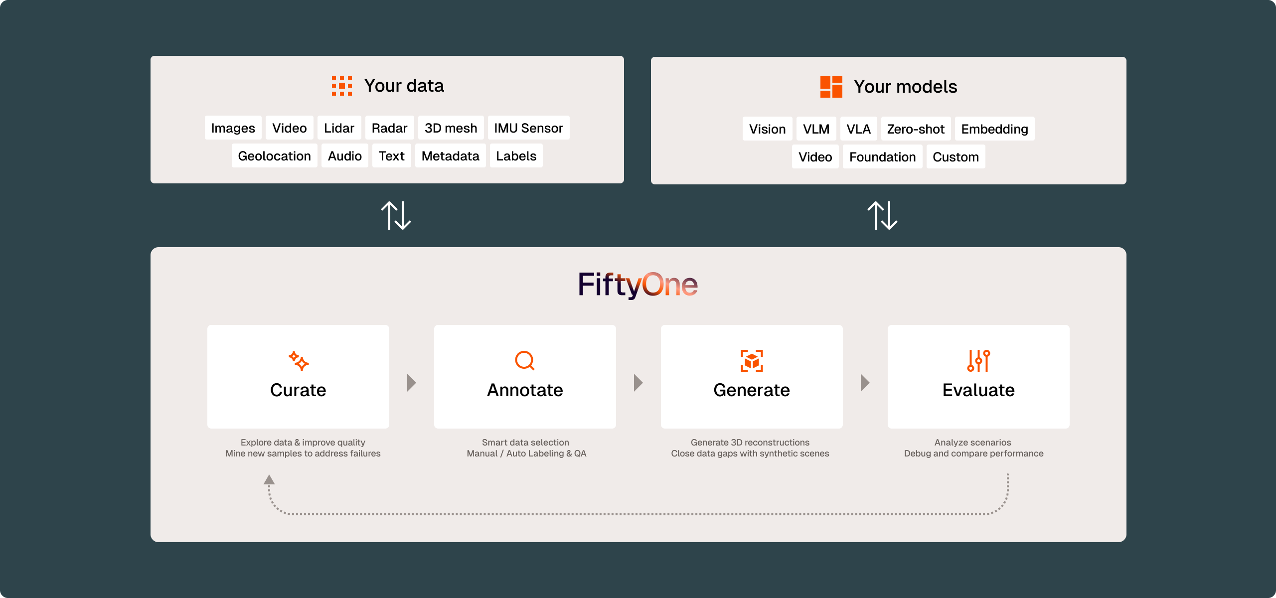
Voxel51 is a unified data platform for multimodal and physical AI. When 3D annotation lives alongside curation and model evaluation, your team can identify exactly where your perception models fall short, surface the point cloud scenes that expose those gaps, and route them back into annotation, without context-switching or round-tripping.
Lidar annotation project management with configurable review workflows
Design and manage multi-stage lidar annotation pipelines that give you full control over how work moves from lidar annotation to review and approval. Built-in project management review stages, rejection loops, and quality gates help you coordinate teams, enforce standards, and keep production datasets moving without operational friction.

Standardize lidar annotation schemas and ontologies
Give your whole team one source of truth for how data gets labeled. Annotation schemas set the structure, classes, and attributes for every label, and reusable ontologies let you apply the same definitions across point cloud data and projects. Less ambiguity, cleaner data, and annotations that align with what your models need downstream.
Questions?
We have answers.
Voxel51 supports 3D cuboids, 3D polylines, polygons, and classifications for point cloud data.
The annotation plane in Voxel51 is a virtual surface that determines where your cursor places vertices in 3D space. By default it's the XY (ground) plane. Moving the plane lets you annotate objects at different heights — wheel wells, rooftops, elevated infrastructure — without losing precision.
Voxel51 supports synchronized visualization of lidar point clouds alongside 2D camera feeds, radar tracks, and video. All sensor data is linked by scene group, so annotators and reviewers see every modality together.
Most annotation tools handle point clouds in isolation. Voxel51 connects your point cloud to every other sensor in your stack, with real-time camera projections for cross-modal verification, and integrates annotation directly with curation and model evaluation so your team can close the loop without switching platforms.
Get started with Voxel51 Annotation
© 2026 Voxel51 All Rights Reserved