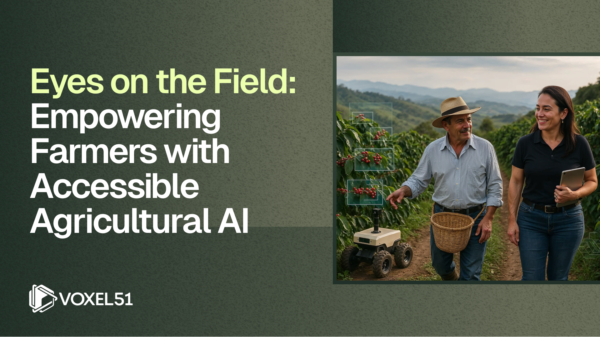
Visual AI in Agriculture: Scaling Precision Field Management with Better Data
See how data-centric Visual AI workflow turns drone imagery, satellite data, and ground-truth sensors into a comprehensive field intelligence system.
Learn how to:
- Build a field-scale dataset: ingesting drone imagery, satellite data, and IoT sensor streams into a unified visual dataset for comprehensive field analysis
- Curate for accuracy: annotation, validation, and quality control techniques that capture field variability and edge cases traditional scouting techniques miss
- Train & evaluate models: fuse visual, spectral, and environmental features into one pipeline
- Measure field impact: align model performance with key metrics like input efficiency, yield variance, and ROI per zone
Resources
Discover how visual AI is transforming the future of farming
Learn about the latest AI-driven technologies that are enhancing crop monitoring, improving yield predictions, and making farming more efficient and sustainable.
Why Computer Vision in Agriculture is the Future
Read our blogs on the 2025 landscape, CVPR recap, industry spotlight, and more.

“We’ve been using FiftyOne for over a year and it has drastically changed the way we work. The ability to easily display and analyze our images and their metadata, including experiment results, has been a refreshing change compared to the way we’ve worked before – mainly writing our own metrics and viewers. I’ve personally used FiftyOne for a segmentation model I’ve trained – trying to analyze the results and visually see what my model outputs has been really easy and fluid thanks to FiftyOne.”
Ido Greenfeld
AI Team Lead, Taranis
“FiftyOne has been super effective in helping me to quickly understand the issues in my datasets, models, and latent representations.”
Dan Erez
Computer Vision Expert, Taranis
Enough data wrangling.
Request a demo.

© 2026 Voxel51 All Rights Reserved